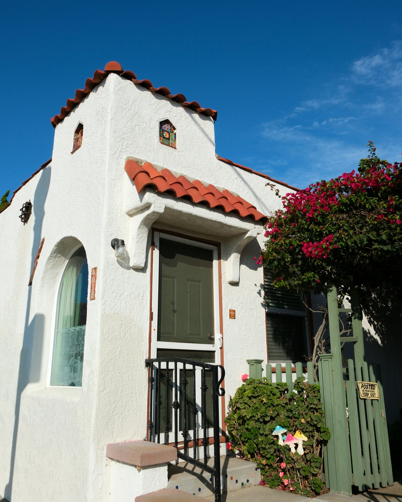
Explore the Bernal Heights, CA Neighborhood
Offers a distinctive blend of urban energy and a laid-back community vibe.
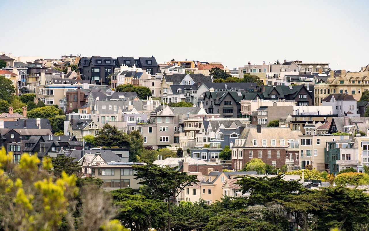
Offers a distinctive blend of urban energy and a laid-back community vibe.
San Francisco Neighborhood Guide
Bernal Heights occupies 1.2 square miles in San Francisco's 94110 zip code, where median single-family home prices average $1,850,000 as of 2026. Centered around the Cortland Avenue commercial corridor and Bernal Heights Park, the hilltop neighborhood comprises 6,800 residential properties with direct access to Mission District dining and Highway 101 transit routes.
Compare single-family residences near Cortland Avenue, hilltop view homes near Bernal Park, or evaluate local property values.
Metric / Feature | Bernal Heights Data (2026) |
|---|---|
ZIP Code | 94110 [1] |
Median Single-Family Price | $1,850,000 [2] |
Median Condominium Price | $1,120,000 [3] |
Primary Public Schools | Paul Revere K-8 School, Holly Park Elementary [4] |
Transit & Arterials | Muni 24 Divisadero, 67 Bernal Heights, Highway 101, I-280 [5] |
Sources: San Francisco Association of Realtors MLS Data; SFUSD School Assignment Profiles; SFMTA Municipal Transit Schedules.
Architecture & Hilltop Topography
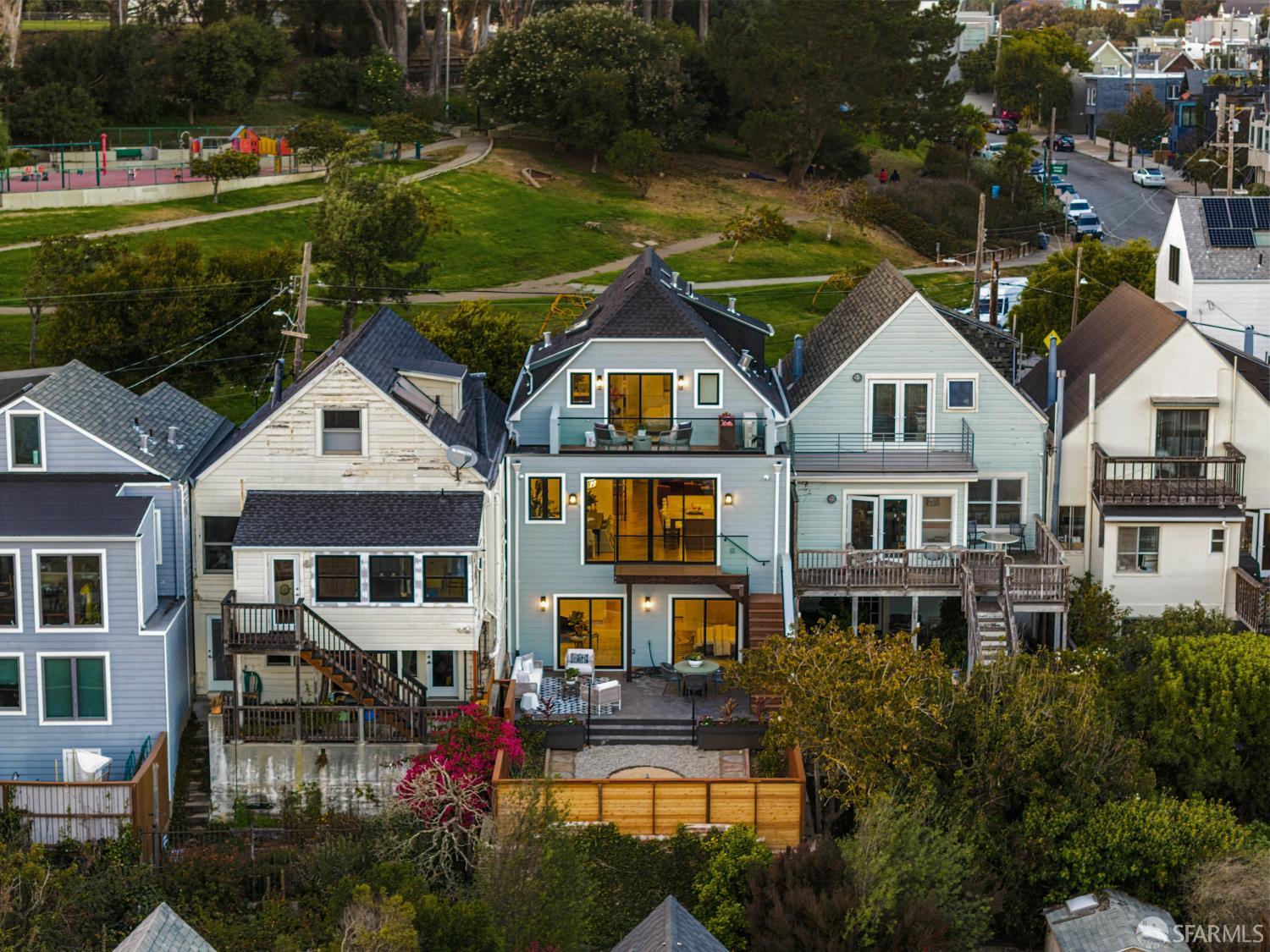
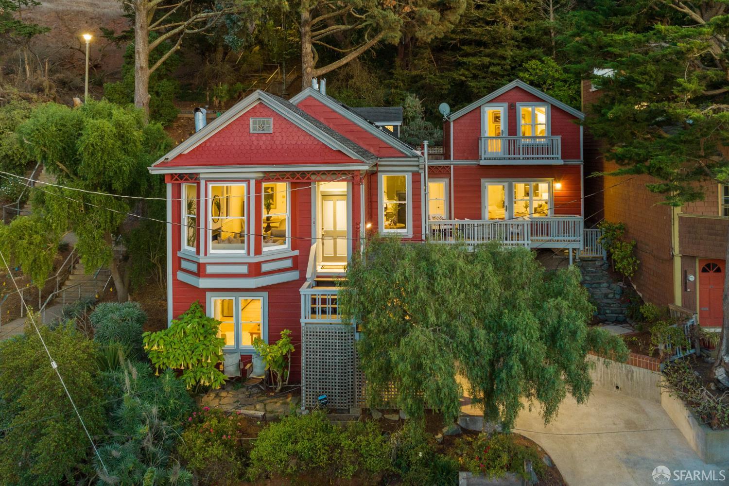
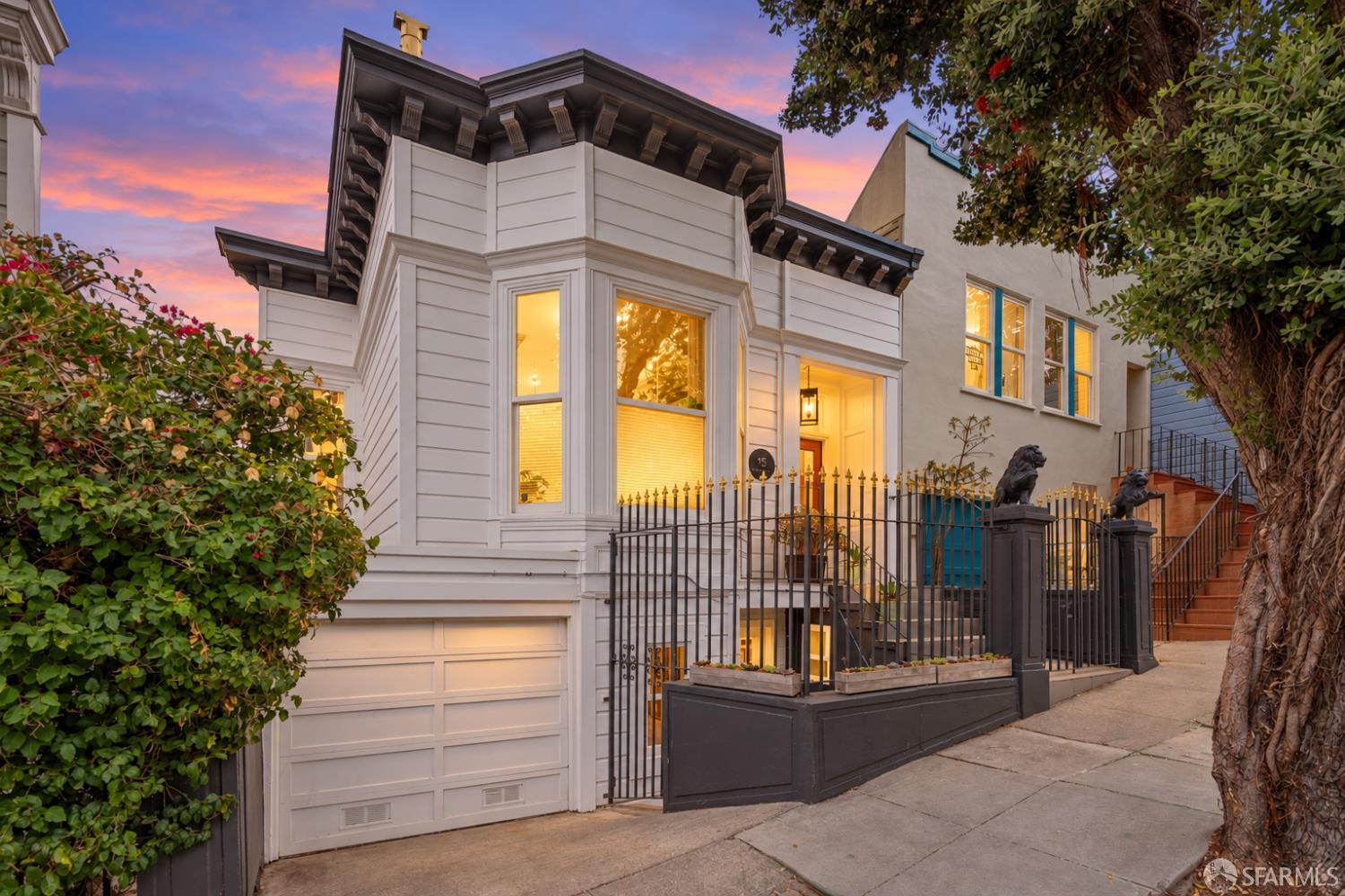
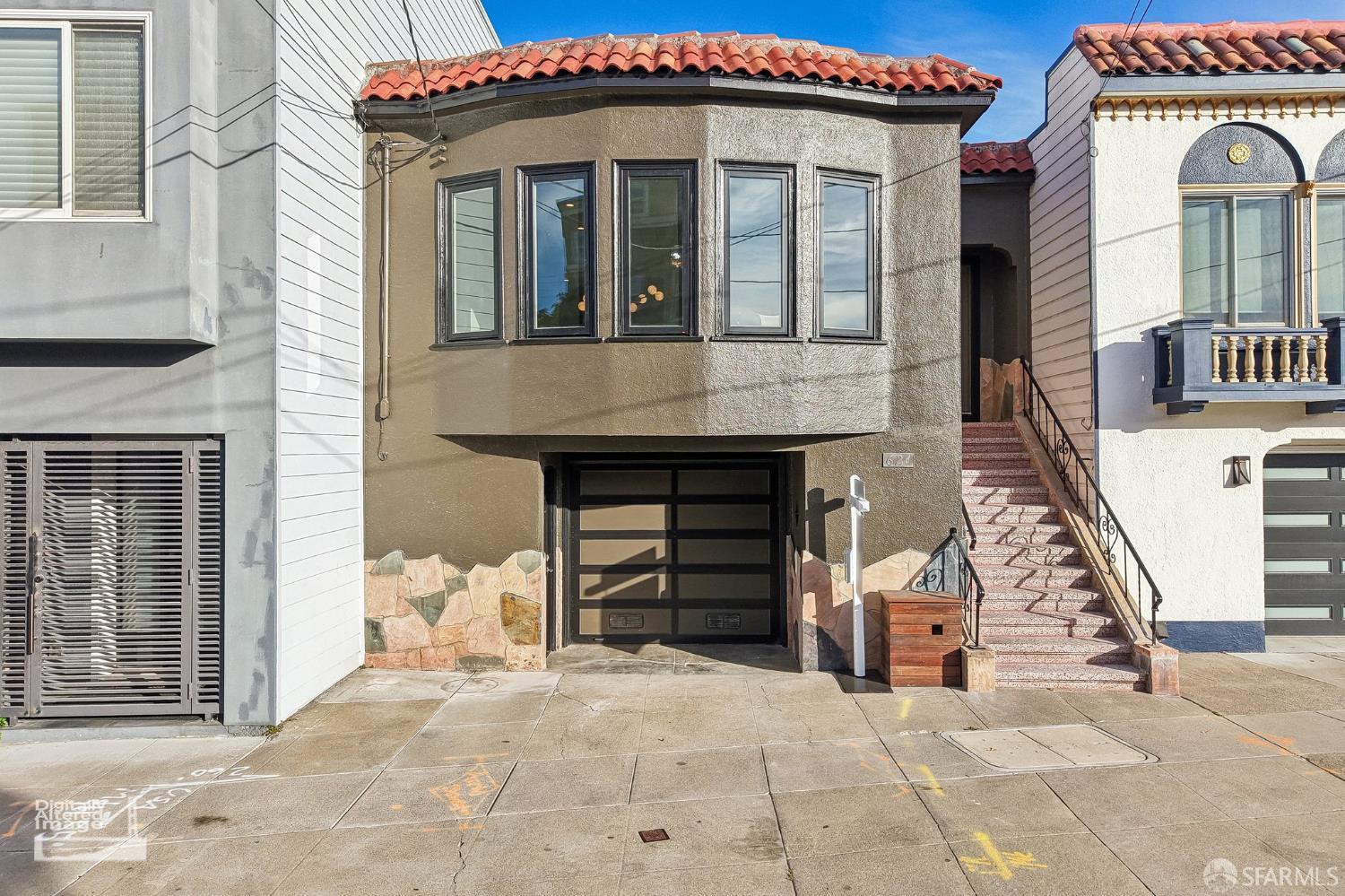
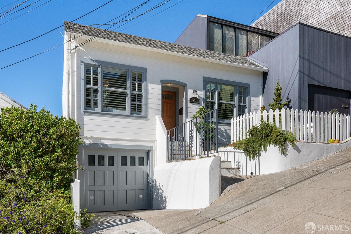
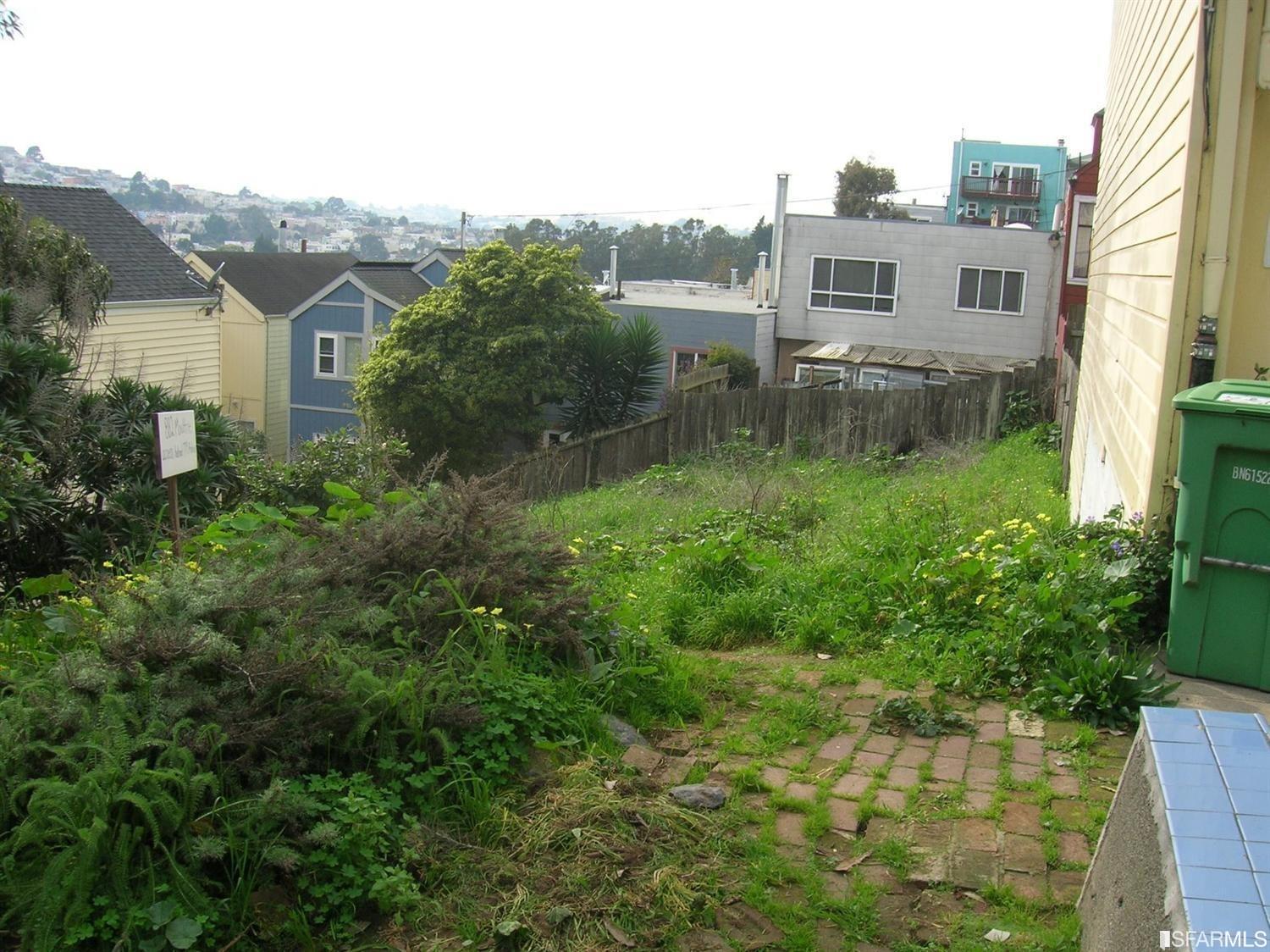
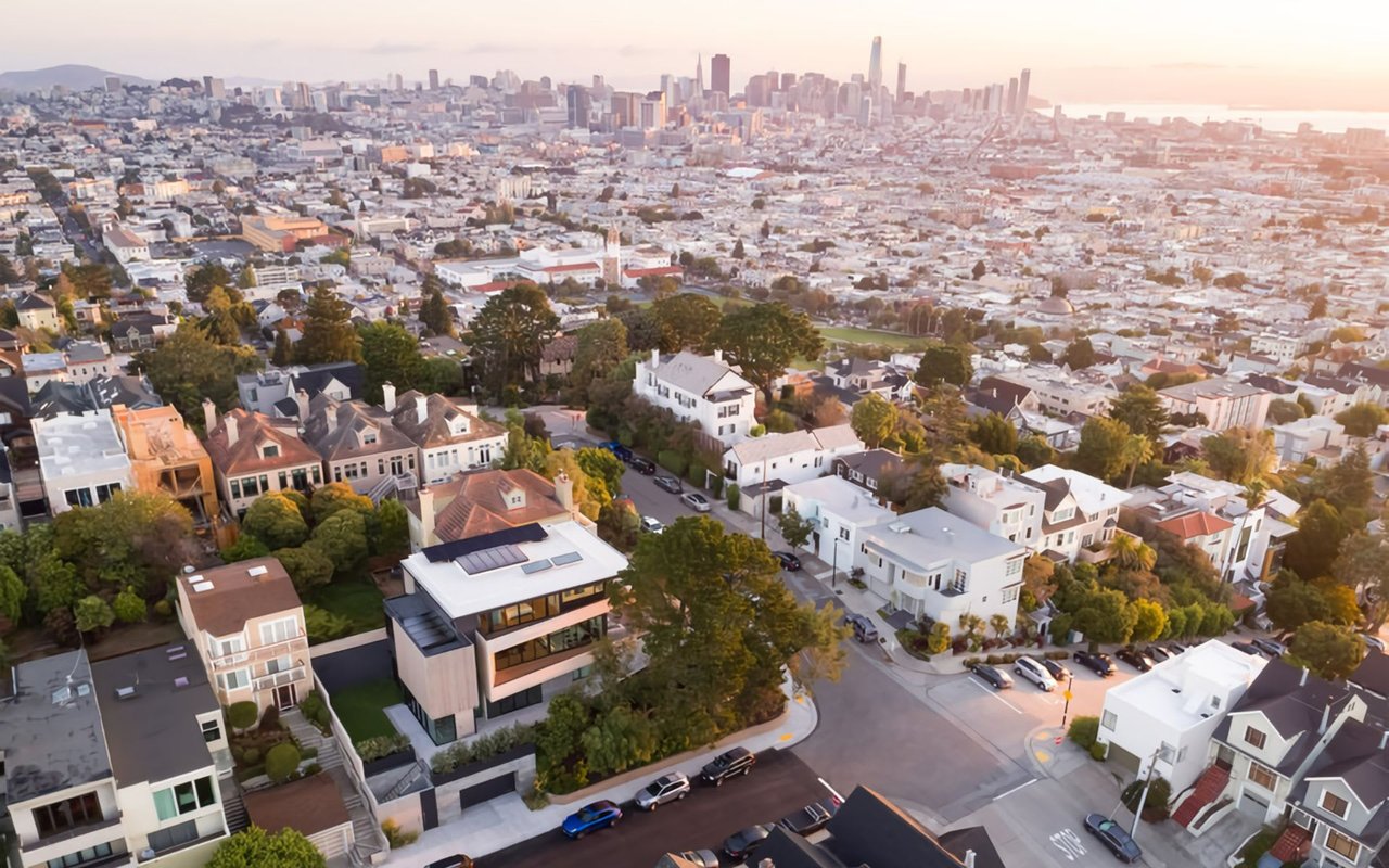
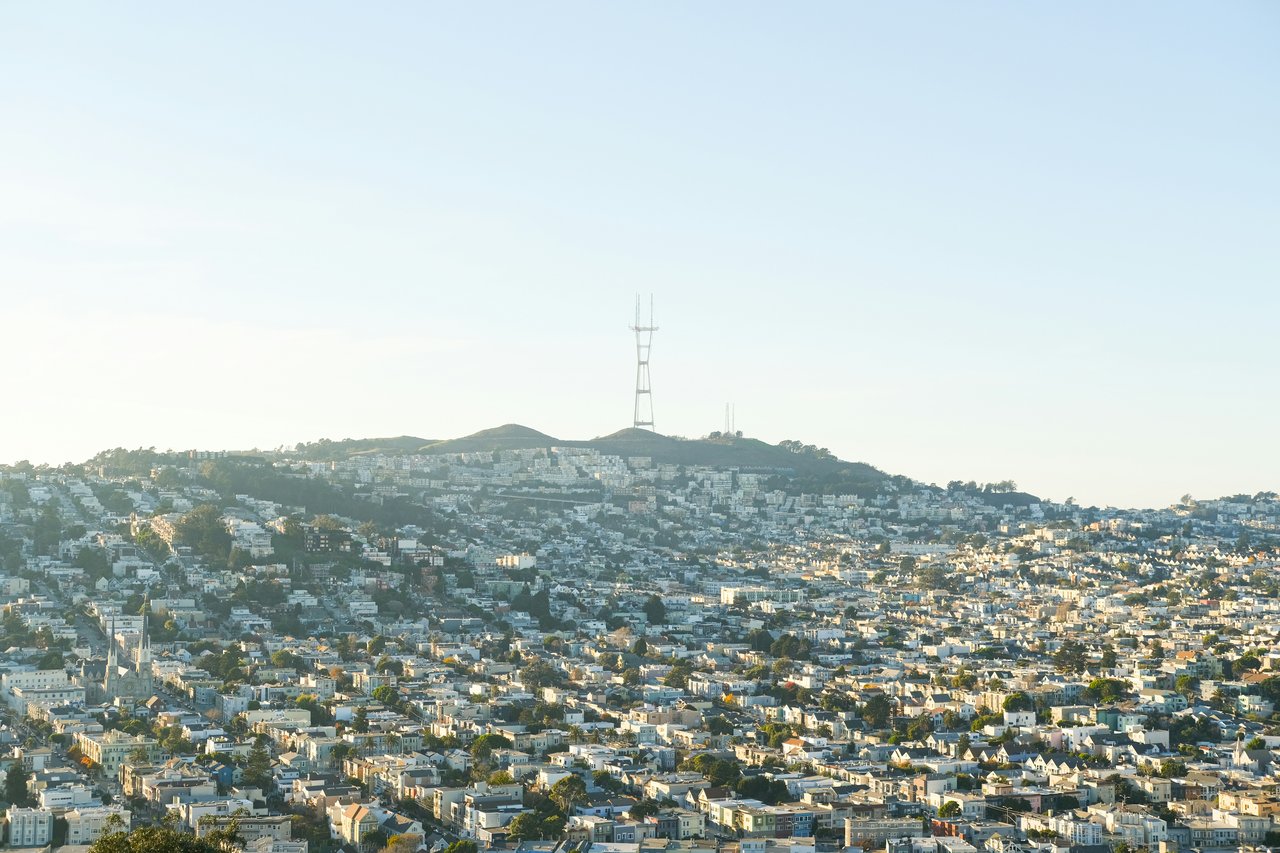
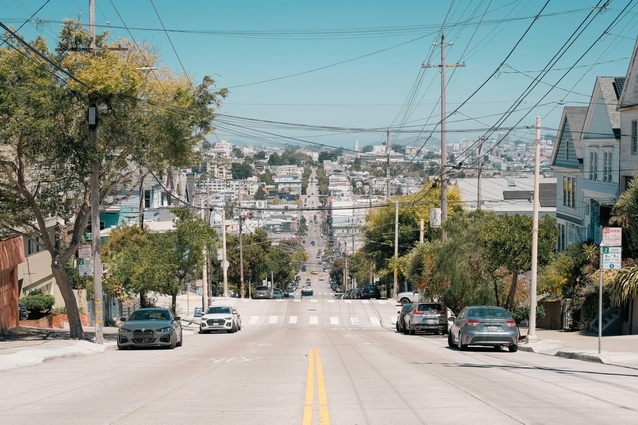
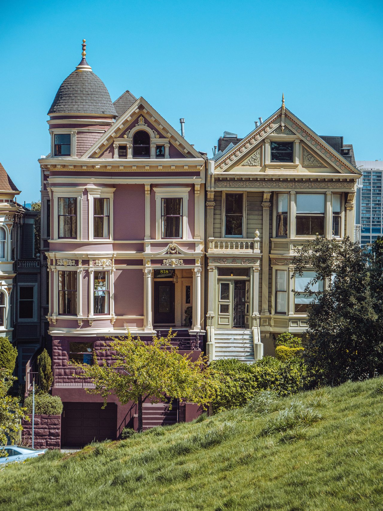
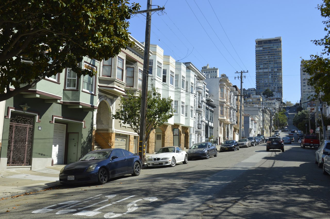
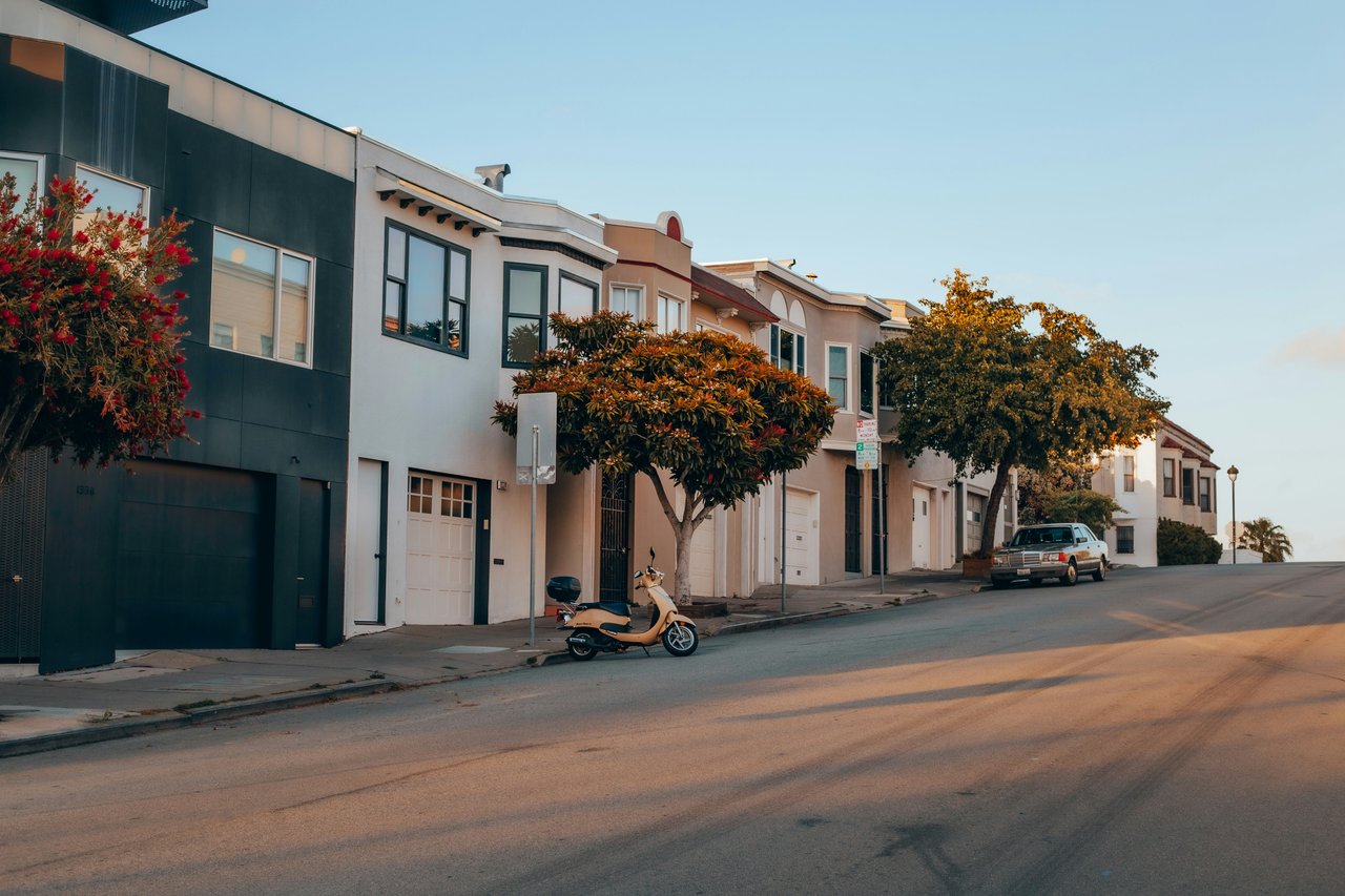
Rising sharply south of the Mission District and Caesar Chavez Street, Bernal Heights features varied elevation levels that grant clear views across Downtown San Francisco, the East Bay, and San Francisco Bay. The architectural character mixes late 19th-century Victorian cottages with mid-century single-family structures and contemporary architectural custom builds built along steep hillside streets.
The neighborhood layout forms distinct sub-microclimates. The northern slope facing Precita Park benefits from warmer temperatures and direct Mission access, while the southern slope slopes gently toward Holly Park and the Alemany Farmers Market corridor.
Key Enclave Pillars
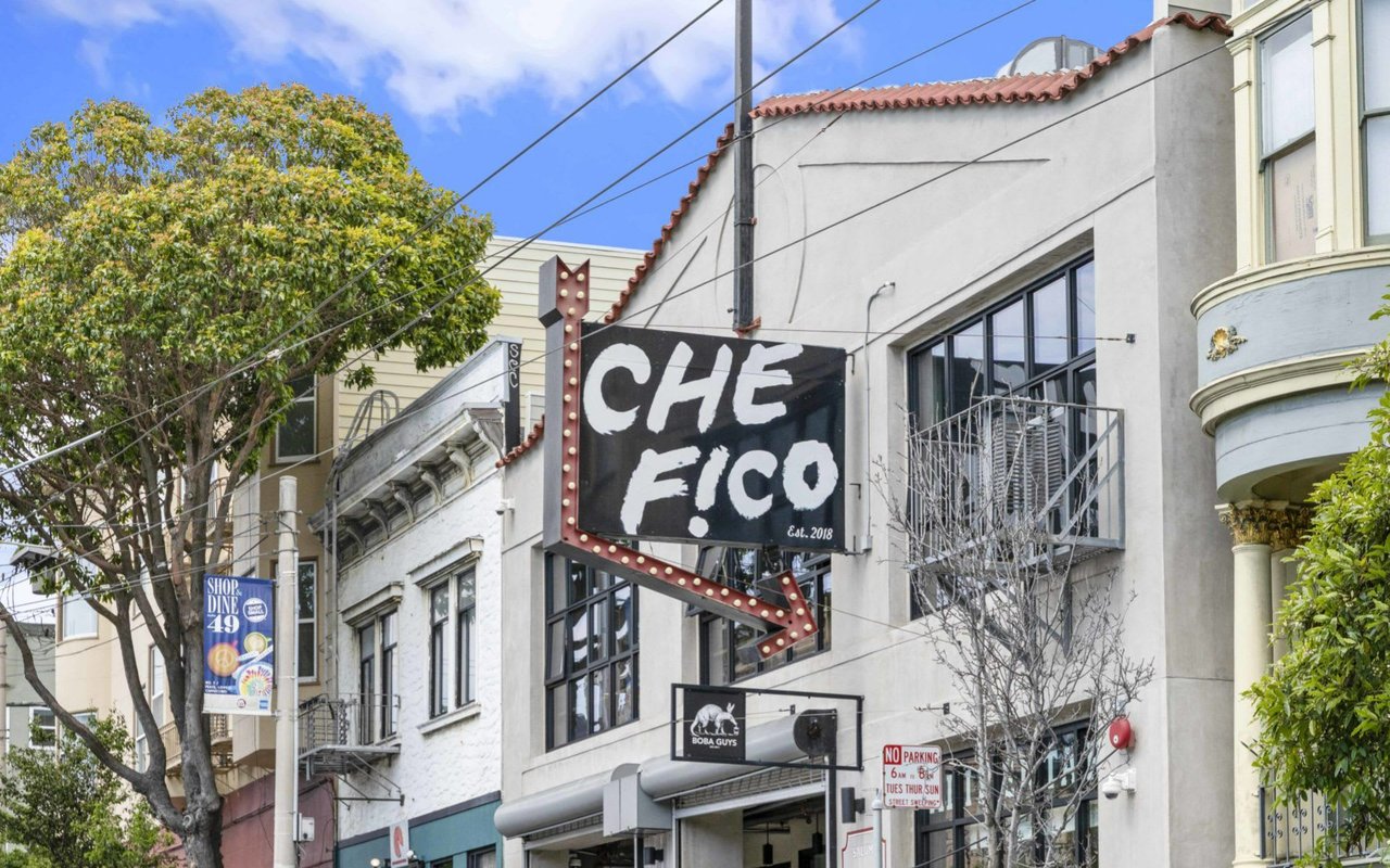
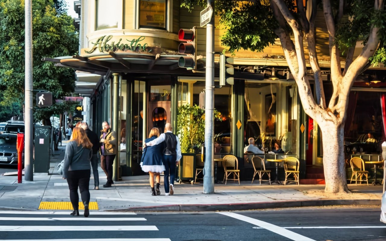
Cortland Avenue serves as the neighborhood village hub, featuring independent bakeries, grocery co-ops, bookstores, neighborhood taverns, and local services.
Bernal Heights Park provides 26 acres of urban green space with 360-degree panoramic viewpoints and designated off-leash trails for neighborhood pet owners.
The northern base anchored by Precita Park features flat lawn areas, playgrounds, outdoor cafes, and convenient foot access toward 24th Street BART.
Positioned near Highway 101 and Interstate 280, Bernal Heights provides direct vehicular commuting routes to Silicon Valley tech corridors and SFO Airport.
Local Anchor Points
San Francisco Real Estate Network
Frequently Asked Questions
Bernal Heights is located entirely within San Francisco's 94110 zip code, sharing zip code boundaries with the adjacent Mission District.
As of 2026, the median home price for single-family residences in Bernal Heights is $1,850,000, while condominium properties average $1,120,000.
Yes, Bernal Heights is widely considered one of San Francisco's top dog-friendly neighborhoods due to Bernal Heights Park, which features extensive off-leash trails and panoramic viewpoints.
Cortland Avenue serves as the primary commercial corridor in Bernal Heights, housing independent restaurants, local markets, cafes, and neighborhood boutiques.
Commuters access Downtown San Francisco via the Muni 24 Divisadero line, 67 Bernal Heights route, or by connecting to 24th Street Mission BART station located within walking distance of the north slope.
Ilana Minkoff
San Francisco Real Estate Advisor | DRE #01894439
Representing buyers and sellers across Bernal Heights, Mission District, and Noe Valley with over 12 years of specialized central San Francisco residential real estate experience.
Consultation & Listings
Whether evaluating home valuations on Cortland Avenue, analyzing North Slope view properties, or preparing to buy or sell, connect for strategic guidance.
25,216 people live in BERNAL HEIGHTS, where the median age is 44 and the average individual income is $100,062. Data provided by the U.S. Census Bureau.
Total Population
Median Age
Population Density Population Density This is the number of people per square mile in a neighborhood.
Average individual Income
BERNAL HEIGHTS has 9,488 households, with an average household size of 3. Data provided by the U.S. Census Bureau. Here’s what the people living in BERNAL HEIGHTS do for work — and how long it takes them to get there. Data provided by the U.S. Census Bureau. 25,216 people call BERNAL HEIGHTS home. The population density is 25,153 and the largest age group is Data provided by the U.S. Census Bureau.
Total Population
Population Density Population Density This is the number of people per square mile in a neighborhood.
Median Age
Men vs Women
Population by Age Group
0-9 Years
10-17 Years
18-24 Years
25-64 Years
65-74 Years
75+ Years
Education Level
Total Households
Average Household Size
Average individual Income
Households with Children
With Children:
Without Children:
Marital Status
Blue vs White Collar Workers
Blue Collar:
White Collar:
Whether buying your first home, selling your tenth home, or somewhere in between, Ilana's goal is to always go above and beyond to exceed your expectations! She wants to ensure such a great experience that you won’t want your friends, family, colleagues, or anyone you know to do a real estate transaction without her.